Log in
All resources
Create a design
211 Free Artworks of Maps Of Great Britain
the british monarchy (1743)
british library king's topographical collection
1743 fleurons
1749 fleurons
1748 fleurons
blue coat school, dublin
bibliothèque nationale de france
cary's new itinerary (1815)
thomas milton
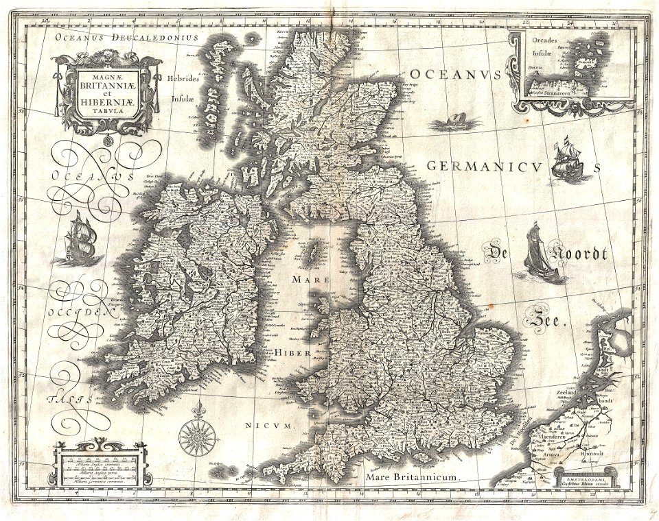
miniature speed atlas (1627) pieter van den keere
the british monarchy (1743)
1743 fleurons
the british monarchy (1743)
1749 fleurons
the british monarchy (1743)
1748 fleurons
the british monarchy (1743)
1749 fleurons
the british monarchy (1743)
1743 fleurons
the british monarchy (1743)
1743 fleurons
the british monarchy (1743)
1748 fleurons
the british monarchy (1743)
1748 fleurons
the british monarchy (1743)
1748 fleurons
the british monarchy (1743)
1749 fleurons
the british monarchy (1743)
1748 fleurons
the british monarchy (1743)
1749 fleurons
the british monarchy (1743)
1743 fleurons
the british monarchy (1743)
1749 fleurons
the british monarchy (1743)
1749 fleurons
the british monarchy (1743)
1749 fleurons
the british monarchy (1743)
1748 fleurons
the british monarchy (1743)
1748 fleurons
the british monarchy (1743)
1748 fleurons
the british monarchy (1743)
1749 fleurons
the british monarchy (1743)
1743 fleurons
the british monarchy (1743)
1749 fleurons
the british monarchy (1743)
1743 fleurons
the british monarchy (1743)
1749 fleurons
the british monarchy (1743)
1743 fleurons
the british monarchy (1743)
1743 fleurons
the british monarchy (1743)
1749 fleurons
the british monarchy (1743)
1748 fleurons
the british monarchy (1743)
1748 fleurons
the british monarchy (1743)
1743 fleurons
the british monarchy (1743)
1743 fleurons
the british monarchy (1743)
1749 fleurons
the british monarchy (1743)
1743 fleurons
the british monarchy (1743)
1743 fleurons
the british monarchy (1743)
1749 fleurons
the british monarchy (1743)
1743 fleurons
miniature speed atlas (1627) pieter van den keere
maps of wales by john speed
miniature speed atlas (1627) pieter van den keere
county maps of england by john speed
miniature speed atlas (1627) pieter van den keere
maps of scotland by john speed
eran laor cartographic collection
romeyn de hooghe
the british monarchy (1743)
nemo me impune lacessit
maps in the british museum
maps by john speed
maps in the british museum
maps of the irish sea
old maps of french guiana
old maps of venezuela
the web of empire - a diary of the imperial tour of their royal highnesses the duke and duchess of cornwall and york in 1901 (1902)
1901 royal tour of new zealand by duke and duchess of cornwall and york
17th-century maps of cornwall
maps in the british museum
18th-century maps of edinburgh-shire
maps of scotland by herman moll
atlas maior, vol 5 (england) - joan blaeu, 1667 - bl 114.h(star).5
old maps of anglo-saxon england
maps by macdonald gill
royal mail
19th-century maps of gloucestershire
old maps of cheltenham
history of yokohama
maps of yokohama
17th-century maps of the british isles
maps by willem and johannes blaeu
miniature speed atlas (1627) pieter van den keere
john speed
18th-century maps of england and wales
chorographia britanniae (1741-1742)
expeditionis hispanorum in angliam vera descriptio anno domini mdlxxxviii
paper
daniel de la feuille
1708 maps
british library king's topographical collection
william henry toms
arts and crafts movement
maps of fictional europe
british library king's topographical collection
robert dodd
a topographical map of the county of berks (1761)
bibliothèque nationale de france
a topographical map of the county of berks (1761)
bibliothèque nationale de france
a topographical map of the county of berks (1761)
bibliothèque nationale de france
bibliothèque nationale de france
maps by thomas kitchin
19th-century maps of the isle of wight
cary's new itinerary (1815)
19th-century maps of middlesex
cary's new itinerary (1815)
19th-century maps of hampshire
cary's new itinerary (1815)
19th-century maps of somerset
cary's new itinerary (1815)
cary's new itinerary (1815)
19th-century maps of kent
picturesque views, on the river medway, from the nore to the vicinity of its source in sussex (1793)
maps of the river medway
seven pilgrim churches of rome
churches in rome in art
18th-century portrait paintings in the national maritime museum, london
john francis rigaud
1740s maps of the americas
1747 maps of north america
british library king's topographical collection
john & josiah boydell
plans of the lateran baptistry
templa diversa
bibliothèque nationale de france
maps by thomas kitchin
the custom house, dublin (1707)
essex bridge
templa diversa
mannerism
templa diversa
mannerism
françois harrewijn
rubenshuis in art
hmnb devonport
thomas milton
deptford dockyard
thomas milton
hmnb portsmouth
thomas milton
chatham dockyard
thomas milton
sheerness dockyard
thomas milton
history of woolwich dockyard
maps of woolwich
hmnb devonport
samuel buck
british library king's topographical collection
robert dodd
chatham dockyard
samuel buck
british library king's topographical collection
woolwich in art
blue coat school, dublin
blue coat school, dublin
blue coat school, dublin
blue coat school, dublin
blue coat school, dublin
blue coat school, dublin
british library king's topographical collection
winstanley's eddystone lighthouse
blue coat school, dublin
blue coat school, dublin
blue coat school, dublin
blue coat school, dublin
101 - 200 of 211
Next page
/ 3